
PSE QSL · TNX QSL
QSL Cards
In an age of electronic logs, there's an irreplaceable delight in the tactile tradition of the QSL card. Each one that lands in my mailbox is a small treasure, and a physical, personal link to an operator somewhere out in the world.
POTA contacts are often brief, but a card extends that interaction beyond the QSO. I design my own cards around my home state of Michigan. They're snapshots of my journeys, not the work of a professional, but the passion project of an operator eager to share his corner of the map.
Please know there's never any pressure to respond. My joy comes from the act of sharing, and the hope that it brings a piece of the Michigan landscape to your doorstep.
From the print shop
The Cards
Every design has a story behind it. Here are a few, along with where they came from.
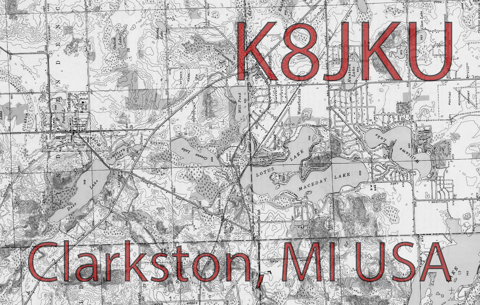
Home QTH · Clarkston, MI · Grid EN82
The Clarkston Topo
A historical topographic map of my home QTH, about 34 miles northwest of downtown Detroit and the smallest city in Michigan by land area. The contours and lake-dotted terrain give a glimpse of the landscape my signals leave from.
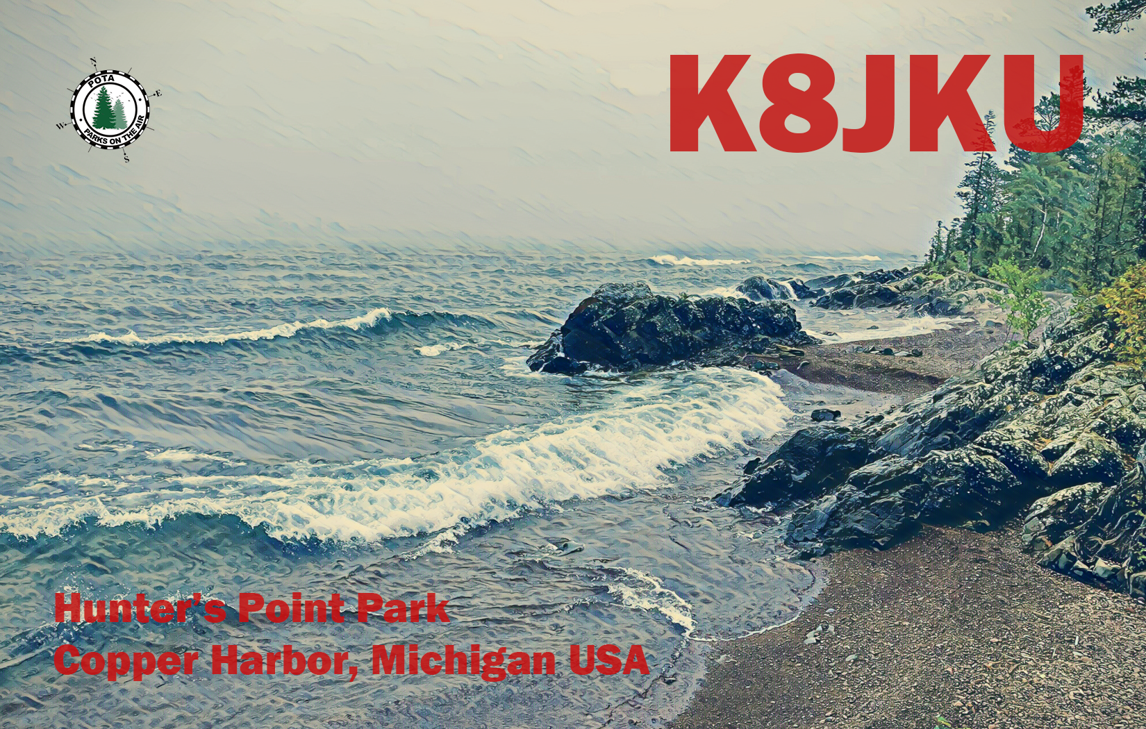
Hunter's Point Park · Copper Harbor, MI · Sept 16, 2022
Superior, After the Storm
Hunter's Point is just 9.4 acres, a quiet finger of rock and shoreline where Copper Harbor opens onto Lake Superior. I took this photo on a bleak, rainy fall day during an overland retreat with a best friend. When the storm finally cleared, we walked the shoreline trails, shared some whisky, and watched Superior throw itself against the point's ancient rock formations. Take nothing but pictures, leave nothing but footprints.
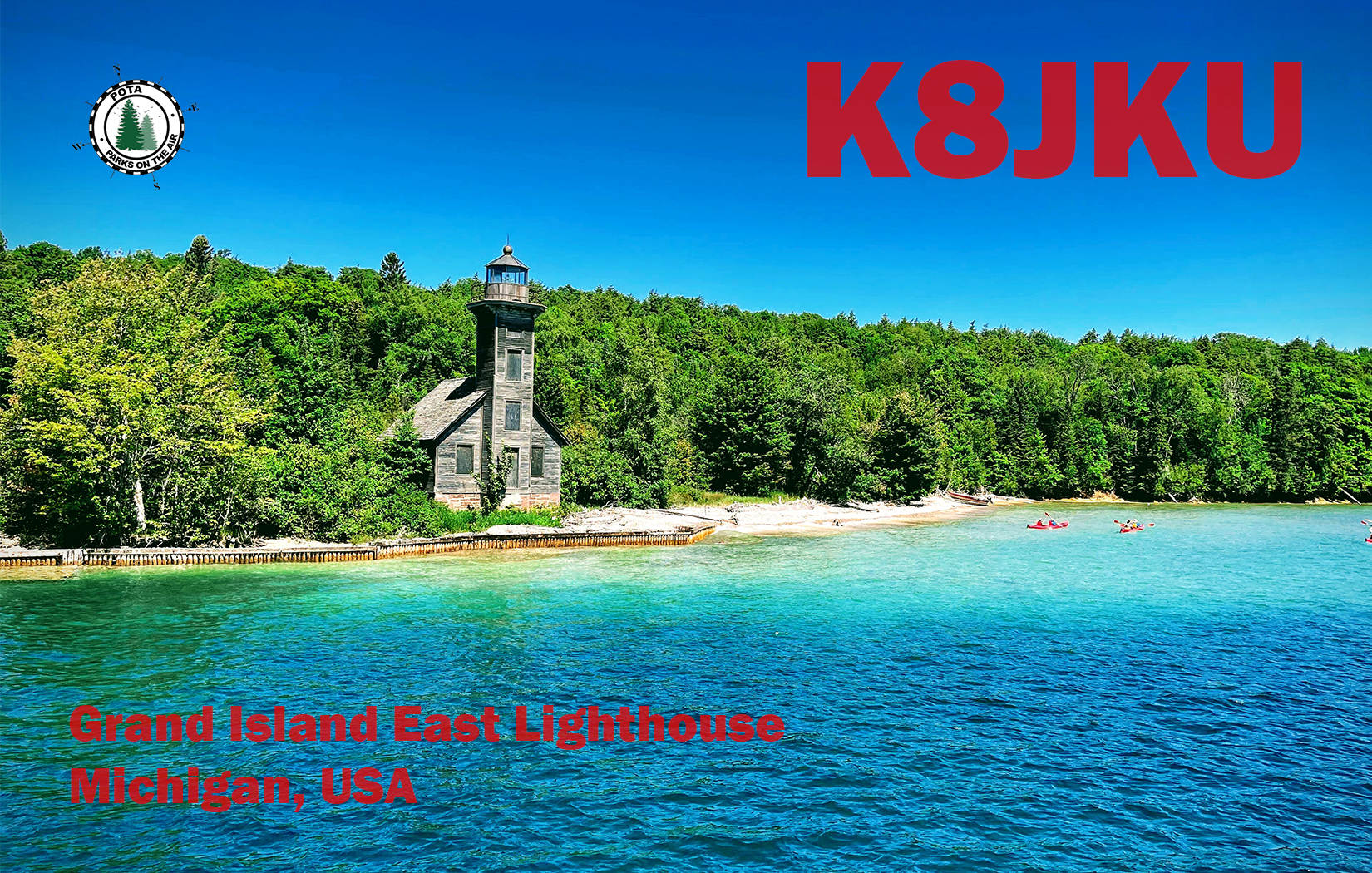
Munising, MI · July 9, 2021
The East Channel Light
Captured from a glass-bottom boat floating above the shipwrecks of Munising. The wooden Grand Island East Channel Light first lit the water in 1868, guiding sailors off Lake Superior into Munising Harbor. A family expedition, and a postcard-perfect piece of Michigan's maritime heritage.